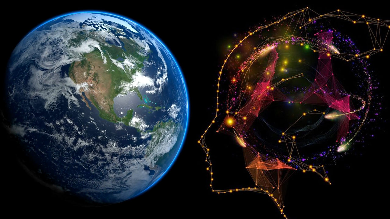
In an era where location-based intelligence is critical to decision-making, Geospatial AI is emerging as a game-changer in how we analyze, interpret, and act upon geospatial data. By combining artificial intelligence with geographic information systems (GIS), geospatial AI is pushing the boundaries of traditional spatial analytics, unlocking real-time insights, improving prediction accuracy, and transforming workflows across sectors such as urban planning, agriculture, disaster management, and defense.
This advancement not only enhances operational efficiency but also raises an important question: Will AI replace geospatial professionals, or will it serve as a powerful assistant that maximizes their capabilities?
The following article explores the role of AI in geospatial analysis and examines whether human expertise will remain central in a field that is becoming increasingly automated.
How is AI impacting the geospatial?
Artificial Intelligence (AI) is driving a profound transformation in the geospatial industry, reshaping how data is collected, analyzed, and utilized. Traditional methods such as manual satellite image classification or GIS overlay analysis are gradually being replaced by deep learning algorithms and semantic models capable of interpreting data at a higher conceptual level. AI not only identifies landform features from optical or radar imagery but also integrates heterogeneous data sources, ranging from IoT sensor data and vector files to multispectral satellite imagery, to generate a comprehensive, real-time spatial understanding.
Mapping applications are also entering a new era. Digital maps are evolving from static products into interactive systems that dynamically adapt to user context and behavior. Thanks to the synergy between AI and cloud computing, map data updates can now occur automatically and almost instantaneously. These “living maps” reflect real-time changes in terrain, traffic, and infrastructure, becoming foundational tools for technologies such as autonomous vehicles, smart city monitoring, and disaster risk management.
AI is also enhancing our ability to detect changes on the Earth’s surface. Rather than relying on rigid thresholds, modern machine learning models can learn from historical data to identify anomalies with greater flexibility and accuracy. This opens up new avenues for environmental monitoring, urban planning, and climate change forecasting.
More importantly, the transformation extends beyond algorithms. AI is driving the need to restructure entire geospatial data ecosystems, from data formats and storage models to cross-platform interoperability. Data must be organized in a way that is interpretable and ready for large-scale reasoning tasks, supporting not only present-time analytics but also predictive applications and informed decision-making.
In this evolving landscape, the role of AI goes far beyond automating repetitive tasks like image labeling or information extraction. Instead, AI is reshaping how we conceptualize geospatial intelligence, transforming GIS systems from analytical tools into spatial reasoning platforms that support high-precision, strategic decisions in real time.
The role of AI in the advancement of geospatial technology
Artificial Intelligence (AI) is emerging as a core driver in the modernization and expansion of geospatial technology applications. With its ability to process vast volumes of data at high speed and to learn from complex data patterns, AI is propelling a new generation of spatial analysis systems that are more accurate, responsive, and adaptive over time.
Optimizing spatial data analysis with AI
Traditional approaches to spatial data processing often face limitations in scalability, response time, and the ability to handle diverse data sources. However, AI, particularly through machine learning (ML) and deep learning (DL) techniques, is introducing a transformative approach. These models not only support the processing of data from various sources such as satellite imagery, UAVs, ground sensors, and IoT devices but also enhance pattern recognition and trend detection capabilities that are often beyond human perception. As a result, geospatial data processing systems can now respond more rapidly and with greater precision in dynamic and continuously evolving data environments.
AI enhancing spatial data acquisition capabilities
AI is not limited to data analysis, it also significantly improves the efficiency of spatial data acquisition processes. Intelligent algorithms are enabling autonomous vehicles, drones, and mobile sensors to automatically map their environment in real-time. The integration of technologies such as LiDAR, radar, and computer vision into data collection systems allows for continuous and more detailed monitoring, which is especially critical in applications like smart cities, infrastructure surveillance, and natural resource protection.
At the same time, AI is automating processes such as land cover classification, land use change detection, and anomaly identification in environmental data. These capabilities are becoming increasingly essential for monitoring climate change, forest degradation, and urban expansion.

Interpreting complex data and predicting spatial trends
One of AI’s most powerful advantages is its ability to build predictive models from spatial data. In fields like precision agriculture, AI can synthesize and analyze variables such as soil moisture, climate data, NDVI imagery, and economic indicators to forecast crop yields, disease risks, or investment outcomes. This empowers stakeholders to make scientifically grounded decisions and optimize resource utilization effectively.
Real-Time data with geospatial AI
As the demand for real-time data intensifies, especially in sectors such as transportation, logistics, defense, and disaster relief, AI has become indispensable. AI-powered platforms can analyze continuous streaming data from multiple sources including satellites, UAVs, and ground sensors, delivering updates on a minute-by-minute or even second-by-second basis.
In emergency situations like floods, earthquakes, or wildfires, AI assists in identifying affected areas, assessing damage severity, and recommending priority actions. Beyond improving response efficiency, AI can also predict subsequent risks based on dynamic data trends, enabling organizations to better prepare and respond to future events.
Integrating geospatial AI with Big Data and IoT
The convergence of artificial intelligence (AI), big data, and the Internet of Things (IoT) is ushering in a new era for geospatial applications. An increasing number of IoT devices, such as smart sensors in transportation systems, urban infrastructure, and precision agriculture platforms, generate massive volumes of geospatial data with continuous updates. AI plays a central role in organizing, extracting, and interpreting these datasets into actionable and valuable insights.

AI drives large-scale environmental data analysis
In the field of environmental monitoring, AI is creating breakthroughs by integrating and analyzing data from diverse sources such as satellite imagery, IoT sensors, meteorological stations, and real-time data streams. Leveraging its ability to learn and recognize patterns from big data, AI enables rapid and precise identification of environmental changes, including land cover variation, climate change, air quality, and water resources. This information provides a robust data foundation for organizations and authorities to implement resource management strategies, ecosystem conservation, and policies aimed at mitigating the impacts of climate change.
Geospatial data visualization enhanced by AI
AI is also redefining how we visualize and interact with spatial data. Moving beyond traditional static maps, AI-driven visualization platforms generate dynamic, intuitive, and highly interactive representations. Automatically produced map models, heat maps, 3D spatial analyses, and temporal-attribute distribution charts allow users to explore data from multiple perspectives and gain deeper insights into the relationships among geographic factors.
This interactive capability is especially valuable for policymakers, infrastructure engineers, scientists, and other stakeholders, enabling swift decision-making based on multidimensional and up-to-date information.
Will AI replace humans in the geospatial science?
A common misconception is that AI will replace humans in the field of geospatial science. In reality, AI does not diminish the role of humans but rather increases the demand for experts capable of designing logical workflows, ensuring data quality, and making contextually appropriate decisions. Even the most advanced AI systems require standardized, accurately labeled, and contextually valuable input data—something that only humans can effectively provide.
Moreover, artificial intelligence is not intended to replace existing tools or methods in geospatial science but to restructure the entire value chain within this domain. From data acquisition, processing, and visualization to forecasting, every process is enhanced by AI. Therefore, the challenge is not to “protect the geospatial industry from AI,” but to reshape the industry to align with an increasingly digitized world.

Challenges and development prospects of geospatial AI
Although artificial intelligence (AI) is widely anticipated as a powerful driver for advancing geospatial technology, a series of challenges must be clearly identified and thoroughly addressed.
One prominent issue concerns data security and privacy, especially when AI processes highly sensitive geospatial data related to individuals, organizations, or national assets. The collection, storage, and sharing of geospatial data have the potential to reveal locations, behaviors, and movement patterns, raising increasing concerns about misuse or privacy violations. Therefore, establishing legal frameworks, standardizing data governance protocols, and implementing responsible AI techniques are imperative.
Another technical challenge lies in the interpretability and transparency of AI models. While advanced deep learning and machine learning algorithms can process large volumes of complex spatial data, their outputs are often regarded as “black boxes”, difficult to understand and trace. This limits AI adoption in sectors requiring high levels of compliance, validation, and accountability, such as urban planning, resource management, and disaster response.
In summary, AI serves as a crucial catalyst in restructuring the geospatial technology domain, from data acquisition, processing, and analysis to intelligent and adaptive spatial information exploitation. However, to fully harness this potential, it is essential to simultaneously address barriers related to data privacy and model interpretability.
Only when these challenges are comprehensively and responsibly managed can AI fully realize its role in creating an advanced, efficient geospatial ecosystem that better serves the sustainable development needs of society.