On July 8, 2026, Vegacosmos and Synspective will co-host a technical webinar — Making the Unknown Known — focused on maritime domain awareness, illegal fishing detection, and dark vessel identification at sea. Bringing together Synspective’s SAR satellite expertise and Vegacosmos’s maritime monitoring capabilities through the VegaMDA platform, this webinar offers direct insight into how satellite data is addressing some of the most critical challenges in modern maritime surveillance.
Secure your spot now: Registration link to attend the Webinar
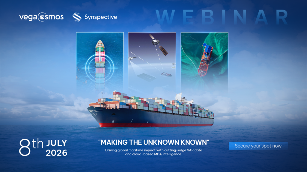
About the Webinar
Illegal, unreported, and unregulated (IUU) fishing fleets are growing increasingly sophisticated — frequently disabling their AIS transponders to evade detection and operate as so-called “dark vessels.” Addressing this challenge requires satellite-based monitoring tools that function independently of vessel cooperation. This webinar explores how VegaMDA platform – integrating SAR satellite data, supports real-world maritime domain awareness.
Topics covered include:
- Applying satellite technology in ocean surveillance
- Detecting IUU fishing activities from space
- Identifying and tracking dark vessels at sea
- Applications of the VegaMDA platform in the maritime sector
Agenda
| Time (Vietnam – ICT) | Session |
| 13:30 – 13:35 | Opening Remarks & Introduction |
| 13:35 – 13:55 | Introduction to Synspective and SAR Satellite Constellation |
| 13:55 – 14:15 | Introduction to Vegacosmos and EO + SAR Applications for the Oceans |
| 14:15 – 14:30 | Q&A and Networking Session |
Speakers
- Dr. Elizabeth Wong — Sales Engineering Manager, Synspective Singapore: With over 10 years of experience in satellite remote sensing across maritime, environmental science, and disaster relief sectors, Dr. Wong focuses on expanding the practical applications of SAR imagery from next-generation satellite constellations.
- Mr. Do Anh Huy — Head of Geospatial Solutions, Vegastar Technology Group: Holding a dual Master’s degree in Space Science (Earth Observation – Astrophysics – Satellite Technology) from USTH and PSL (2024), Mr. Do specializes in SAR data applications for environmental monitoring, infrastructure assessment, and maritime security.
Who should attend
This session is relevant for professionals in:
- Maritime law enforcement and coast guard operations
- Fisheries management and ocean governance
- Remote sensing, GIS, and satellite technology
- Defense and national security
- Environmental and sustainability organizations
How to register
The webinar is free to attend and conducted in English.
Secure your spot now: Registration link to attend the Webinar