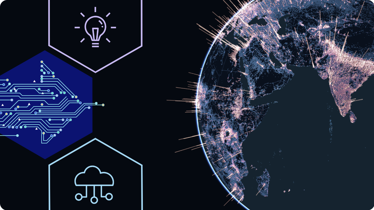
Geospatial tech trends are undergoing a powerful transformation, entering a new phase in which Earth-observation capabilities, from satellites, unmanned aerial vehicles, and ground-based sensors, are expanding, while sustainability imperatives demand more precise measurement than ever before. Beyond the achievements already recognized, the domain still holds vast potential, particularly in GeoAI, the fusion of artificial intelligence and spatial data, and in tapping the enormous yet under-utilized reserves of Earth-observation information.
At the same time, organizations increasingly require real-time, high-resolution insights into their surroundings to optimize operations, manage risk, and shape strategy. In response, the geospatial ecosystem is advancing cloud-native processing platforms, 3D modeling, and faster data-refresh cycles, unlocking applications well beyond traditional boundaries. This article outlines the key trends expected to define 2025 and lay the groundwork for the sector’s next decade.
GeoAI – A long road ahead
GeoAI (Geospatial Artificial Intelligence), the fusion of artificial intelligence and geospatial data analytics, is emerging as one of the most transformative trends in geospatial technology in 2025. With its ability to process data at scale, detect patterns automatically, and perform complex spatial analyses, GeoAI promises to revolutionize areas such as urban planning, environmental monitoring, disaster response, and infrastructure management.
However, despite its immense potential, GeoAI’s practical implementation continues to face significant challenges. Many solutions marketed as “AI-powered” still rely heavily on traditional geospatial analysis methods and manual workflows. While common applications, such as building footprint extraction, route identification, or land cover classification from satellite imagery, have proven effective, performance tends to drop when tackling more complex tasks. These include detecting subtle environmental changes or monitoring rare phenomena, where current models’ reliability remains limited.
At the core of the issue is the difficulty of training machine learning models. AI algorithms require large volumes of high-quality, accurately labeled geospatial data. This becomes especially problematic for rare events or environmental variables that are hard to quantify. Moreover, the lack of transparency in how AI models are built and deployed, including the level of human intervention, technical constraints, and algorithmic limitations, continues to hinder wider adoption.
From a practical standpoint, many forward-thinking organizations are shifting their focus from purely developing AI technologies to solving specific user problems. This user-centered approach not only delivers tangible value but also clarifies the role of human oversight, particularly in decision-making processes that require validation and accountability.
Looking ahead, GeoAI is expected to mature further as evolving regulatory frameworks demand greater transparency and promote standardization in technology deployment. A trusted and responsible innovation environment will be key to unlocking GeoAI’s full potential in addressing global challenges, from climate change adaptation to the development of smart, resilient cities.

Real-time geospatial analytics and forecasting
As organizations increasingly adopt data-driven decision-making, real-time geospatial analytics is becoming a cornerstone of the geospatial technology ecosystem in 2025. Modern platforms are evolving beyond static data collection and visualization to deliver continuously updated insights that enable timely responses to environmental, market, and operational dynamics.
The integration of data from satellites, IoT sensors, unmanned aerial systems (UAS), and open data sources is generating near-continuous information streams, providing a near real-time view of on-the-ground conditions. The convergence of real-time data with predictive analytics allows organizations to detect emerging trends, anticipate risks, and take proactive action. This capability is especially critical as the impacts of climate change intensify and natural ecosystems face growing pressure. The ability to forecast environmental disruptions, such as droughts, floods, biodiversity loss, or urban heat surges, has become more urgent than ever.
Leading companies like Vegacosmos are delivering advanced analytics solutions that combine historical datasets with real-time data to support proactive environmental risk assessments. These solutions empower businesses not only to monitor key environmental indicators but also to implement early warning systems, guide strategic decision-making, and drive sustainable growth.
Soon, the ability to process and forecast geospatial data in real time will no longer be a competitive advantage, it will be a fundamental requirement for any organization aiming to thrive in an increasingly dynamic and uncertain world.
Earth-observation expansion
The Earth-observation (EO) industry is entering a remarkable growth phase marked by rapid satellite deployment, higher image resolutions, and near-real-time data acquisition. Where only about 15 commercial optical satellites could once capture 30 cm imagery, that fleet is projected to exceed 120 by 2025, driven by aggressive expansion programs such as Planet’s Pelican constellation, Maxar’s WorldView Legion, and Airbus’s Pléiades Neo. In parallel, Synthetic Aperture Radar (SAR) constellations are scaling just as rapidly: companies like ICEYE and Synspective are launching satellites that see through cloud cover day and night, enabling uninterrupted monitoring under adverse weather conditions.
Platforms such as GEOHUB are pioneering the delivery of high-resolution, analysis-ready multispectral imagery that plugs directly into GeoAI workflows, while new hyperspectral and greenhouse-gas-monitoring missions bolster precision agriculture, environmental stewardship, and emissions tracking. This surge in data supply is not only enriching existing applications but also spawning new ones, particularly as EO providers shift from selling raw imagery to offering end-to-end solutions with integrated analytics, APIs, and flexible subscription models tailored to each sector. To capture the full value of this data deluge, EO vendors must align closely with user requirements, maintain transparency around accuracy and applicability, and demonstrate clear, measurable returns on investment.
The rise of drones in the geospatial ecosystem
The unmanned aerial vehicle (UAV) sector is entering a period of accelerated and structured growth, particularly in applications tied to geospatial technologies. Driven by both technological advancements and evolving regulatory frameworks, UAVs are rapidly becoming indispensable tools for surveying, monitoring, and managing remote assets.
A major catalyst behind this growth is the increasing adoption of Beyond Visual Line of Sight (BVLOS) operations, regulations that allow drones to be flown beyond the direct line of sight of their operators. As BVLOS frameworks are rolled out or piloted in more countries, UAVs can now be deployed at scale for infrastructure inspection, forest monitoring, terrain mapping, emergency response, and last-mile delivery. Legalizing BVLOS not only extends the operational range of drones but also significantly reduces costs and enhances efficiency for missions requiring broad coverage or high-frequency data collection.
In parallel, advancements in sensor technologies, such as lightweight LiDAR systems, hyperspectral cameras, thermal sensors, and high-precision RTK/GNSS units, are enabling drones to capture data with superior spatial, spectral, and temporal resolution. The latest UAV platforms integrate edge computing capabilities, 5G connectivity, and AI modules, allowing for real-time analysis and transmission of data. These innovations open the door to new applications, from dynamic construction site monitoring to fault detection and detailed 3D urban planning simulations.
More than just image collectors, UAVs are evolving into core components of the geospatial data value chain. They now connect directly with cloud-based GIS platforms and automated analytics systems, paving the way for “Data-as-a-Service” (DaaS) models, where businesses can continuously access UAV-derived data streams instead of relying on single-mission acquisitions.
With the convergence of progressive regulation, cutting-edge sensor technologies, and real-time analytical architectures, UAVs are poised to play an increasingly critical role in the geospatial technology ecosystem through 2025 and beyond.

The rising demand for location-based services
As data becomes a strategic asset in modern business operations, Location-Based Services (LBS) are taking center stage in optimizing workflows, personalizing customer experiences, and enhancing decision-making efficiency. The integration of real-time geospatial data with artificial intelligence is fueling a wave of innovation across industries, from logistics, retail, and finance to telecommunications and urban mobility.
Today’s location analytics systems have evolved far beyond basic routing tools or asset-tracking applications. They are transforming into intelligent, AI-enabled infrastructures capable of generating forecasts and contextual recommendations based on user behavior, spatial patterns, and operational needs. As a result, businesses can now predict and alleviate traffic congestion in real time, identify high-potential consumer zones for market expansion, monitor vehicle fleets with predictive maintenance models, and automatically optimize 5G tower placement based on mobile device density.
The convergence of artificial intelligence, machine learning, and next-generation GIS platforms has turned Location Intelligence (LI) into a distinct competitive advantage. With the ability to process massive volumes of spatial data, from user behavior and IoT sensor streams to satellite imagery, organizations can now access predictive insights that were previously unattainable.
Looking ahead, the proliferation of connected devices, real-time mapping technologies, and AI-driven analytics will continue to amplify the strategic value of location data. Businesses that embrace this trend early will be better positioned to respond with agility, coordinate operations more effectively, and make smarter, faster decisions in an increasingly dynamic market environment.
Geospatial data for sustainability and ESG
In a world shaped by globalization and intensifying climate change, sustainability and adherence to ESG (Environmental, Social, and Governance) standards are no longer optional, they have become regulatory imperatives. Geospatial data is emerging as a vital enabler in achieving these goals, playing a central role in climate risk monitoring, adaptation planning, and emission reduction strategies.
The introduction of rigorous frameworks like the EU’s Corporate Sustainability Reporting Directive (CSRD) is compelling companies to disclose environmental risks and metrics in a transparent, verifiable manner. Yet the value of geospatial technologies extends well beyond regulatory compliance. With their ability to deliver high-resolution, time-sensitive spatial insights, geospatial systems empower organizations to proactively detect, quantify, and respond to environmental threats.
Typical applications include deforestation monitoring and land-use change analysis across supply chains; water resource management in the context of climate variability; urban heat island detection and green infrastructure planning; and assessing the physical vulnerability of assets to natural disasters or sea-level rise.
Beyond helping meet ESG benchmarks, geospatial intelligence supports policymakers and investors in making evidence-based, actionable decisions. When combined with advanced analytics platforms such as GeoAI or early warning systems, businesses can build comprehensive sustainability strategies that align long-term value creation with social responsibility.
The convergence of geospatial data and ESG is no longer just a response to reporting pressure, it is becoming a critical driver of competitiveness and innovation, ushering in an era where every strategic decision is grounded in transparent and location-based intelligence.

Challenges in the geospatial services Market and vegacosmos’ response
Data privacy and security
As geospatial platforms collect and process vast volumes of sensitive information, such as land use data and environmental conditions, ensuring data privacy and regulatory compliance has become a critical concern. Organizations are now required to safeguard their data assets in accordance with global standards like the European Union’s General Data Protection Regulation (GDPR).
In response, Vegacosmos has implemented a robust and secure cloud infrastructure, enhanced with advanced encryption technologies and comprehensive risk assessment protocols. These measures not only protect data integrity but also ensure that clients remain fully compliant with legal and industry-specific requirements. Through this approach, Vegacosmos helps organizations build trust in their data ecosystems while minimizing risks associated with data governance and security.
Deployment and scalability costs
While the value of geospatial services is undeniable, the upfront investment required for infrastructure, ranging from data collection and processing to advanced analytics, remains a significant barrier for many small and medium-sized enterprises.
To address this challenge, Vegacosmos offers a comprehensive GeoAI solution based on a “Data-as-a-Service” model. This approach allows organizations to access and analyze geospatial data without the need for heavy capital expenditure on hardware or specialized in-house teams. By lowering the entry barrier, Vegacosmos enables businesses of all sizes to leverage high-resolution geospatial insights, enhance operational efficiency, and accelerate their sustainable growth strategies.
Geospatial tech trends in the future
Geospatial technology is poised for continued advancement, driven by the convergence of artificial intelligence, real-time data, and edge computing platforms. Applications such as augmented reality (AR) mapping, navigation systems for autonomous vehicles, and real-time spatial analytics are expected to become mainstream, enabling faster, more intuitive, and data-informed decision-making for both businesses and governments. At the same time, growing demands for ESG compliance and climate adaptation are accelerating the use of geospatial data for environmental monitoring, risk management, and sustainable development planning. As a core enabler of operational intelligence, geospatial technology is set to redefine how we interact with both the digital and physical worlds in the post-2025 era.
