In an era of accelerating urbanization, urban planning and development can no longer rely on traditional approaches. Urban managers and planners are now confronted with increasingly complex challenges: how to build cities that are not only modern but also sustainable, adaptable to climate change, and responsive to rapidly evolving population needs. Amidst these challenges, geospatial technology, encompassing tools such as Geographic Information Systems (GIS), remote sensing, and high-resolution satellite imagery is ushering in a new era for urban planning.
These technologies provide not only real-time, accurate, and visually rich data, but also enable in-depth analysis of the intricate relationships between people, the environment, and urban infrastructure. This article explores how geospatial technology is gradually revolutionizing the mindset and methodologies of urban planning, paving the way for the development of smart, resilient cities that are prepared to face future challenges.
Decoding the challenges of modern urban infrastructure development
As cities expand and evolve, urban planners and infrastructure engineers face increasingly complex and systemic challenges. Rapid population growth particularly due to migration toward urban centers, places immense pressure on already overburdened infrastructure systems. Expanding and upgrading transportation networks, water supply and drainage systems, energy grids, and housing developments are often hindered by limitations in land availability, time constraints, and financial-technical resources.
Persistent traffic congestion is largely a result of fragmented urban planning and inefficient management practices. Infrastructure upgrade projects frequently suffer delays, disrupting daily life and slowing the overall modernization process of the city. Furthermore, natural disasters such as floods, storms, earthquakes, and wildfires pose growing threats to the continuity and resilience of urban infrastructure, necessitating the integration of high-resilience design principles.
Environmental degradation and the impacts of climate change also compel cities to restructure toward sustainable development, balancing economic growth with ecosystem protection. Financially, infrastructure budgets often compete with other critical sectors such as education, healthcare, and social welfare, creating major obstacles that delay or downsize key projects.
Social factors are equally significant. Public resistance, especially in resettlement, neighborhood renewal, or traffic expansion initiatives, frequently hampers implementation. In light of these challenges, the application of geospatial technology becomes essential. It enables flexible planning strategies, optimizes infrastructure design, enhances risk forecasting, and most importantly, fosters greater community engagement in the pursuit of sustainable urban planning and development.

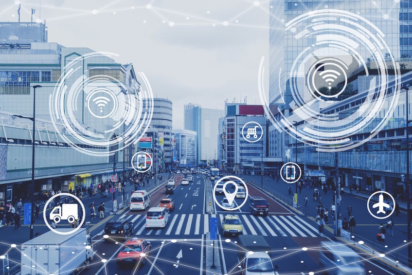
How is geospatial technology important in urban traffic planning and management
As urban areas continue to expand and transportation systems grow increasingly complex, geospatial technology, particularly Geographic Information Systems (GIS), has become a central pillar in transforming the approach to urban traffic planning and management. No longer merely a tool for map visualization, GIS has evolved into a powerful integrated analytical platform that enables urban planners and transportation engineers to fully leverage spatial and real-time data to make evidence-based, strategic decisions.
One of the key strengths of this technology lies in its ability to visualize complex datasets through thematic maps and dynamic models. These tools help identify traffic flows, vehicle density, bottlenecks, accident hotspots, and congestion-prone areas. Such insights not only aid in problem diagnosis but also form the foundation for designing optimal interventions, from signal timing coordination to the restructuring of transportation infrastructure.
In addition, GIS facilitates the integration of multiple real-time data sources such as traffic sensors, surveillance cameras, and weather conditions, thereby enabling the development of intelligent and adaptive routing systems. This capability leads to more efficient traffic regulation, reduced travel times, mitigated congestion, and lower greenhouse gas emissions.
Another significant advantage is GIS’s ability to integrate cross-sectoral data. By linking land use information, spatial planning, population density, and demographic data, GIS supports the design of transportation networks that align with current demand and long-term sustainable development goals. With geospatial technology, urban traffic planning is no longer an isolated task but an integral component of the broader vision for smart, modern, and livable cities.
Leveraging geospatial data to optimize urban transportation systems
Geospatial data is increasingly becoming an indispensable tool in the planning and management of urban transportation systems. Through platforms such as Geographic Information Systems (GIS), real-time sensors, and spatial analytics, transportation specialists can monitor traffic flow, analyze mobility patterns, and accurately identify congestion hotspots.
By integrating data on population density, bus stop locations, public transit routes, and emission metrics, it becomes possible to develop optimized transportation models. These models enable more efficient system operations, reduce traffic congestion, shorten travel times, and improve the overall quality of transportation services.
Real-time analytics facilitate the dynamic adjustment of bus frequencies, route optimization, and the development of transit hubs, enhancing multimodal connectivity and allowing for a more adaptive response to the mobility needs of urban residents.
Moreover, geospatial technologies play a critical role in formulating sustainable transportation policies. These include the implementation of dedicated bus lanes, bicycle networks, pedestrian zones, and eco-friendly public transit systems. Data on commuter behavior and peak-hour trends provide the evidence base necessary for the advancement of intelligent transportation systems, an essential component of modern, livable cities.
Optimizing urban public spaces through geospatial data applications
Amid rapid urbanization and growing demands for enhanced quality of life, geospatial data, including maps, remote sensing imagery, coordinate systems, and socio-economic indicators, has become a strategic tool for planning and managing urban public spaces.
Using GIS, heat maps, 3D simulations, and mobility behavior analysis, urban planners can assess the status of infrastructure, population density, microclimates, and access to public services in detail. These insights support the effective design of public spaces such as parks, green corridors, and plazas, while optimizing their location, functionality, and accessibility.
Integrating data layers such as pollution levels, surface temperature, and population demographics enables the identification of priority zones for green space development and the allocation of amenities that align with the specific needs of diverse population groups, ultimately enhancing environmental quality and public health.
Geospatial technology also facilitates optimal site selection for public art installations by analyzing pedestrian flow and interaction levels, thereby strengthening cultural identity and fostering community engagement.
Within the smart city paradigm, the integration of GIS with IoT-generated data enables real-time monitoring of urban infrastructure systems including traffic, lighting, drainage, and waste management. This empowers city authorities to make timely, data-driven decisions, increasing efficiency and responsiveness in urban governance.
Application of geospatial data in managing urban environmental impacts
Geospatial data plays a critical role in assessing, monitoring, and mitigating environmental impacts within urban planning and development. Utilizing tools such as Geographic Information Systems (GIS) and spatial analysis, data on air and water quality, vegetation cover, terrain, and natural hazard risks are integrated to identify sensitive, vulnerable, or ecologically valuable areas.
The integration of datasets including topography, hydrology, and climate enables the simulation of flood scenarios induced by climate change, thereby supporting land use planning, flood-resilient infrastructure design, and the establishment of effective ecological buffers. Additionally, geospatial data aids in environmental impact assessments from the early stages of project development, contributing to ecosystem protection and optimization of urban green spaces.
Early incorporation of environmental information into planning processes promotes climate-adaptive urban development models, featuring solutions such as green infrastructure, ecological corridors, and disaster-resilient structures. In the long term, leveraging geospatial data forms the foundation for sustainable, smart, and highly resilient cities capable of withstanding environmental fluctuations.

Geospatial data in managing urban population growth and resource allocation
Geospatial data provides an effective tool for monitoring population growth trends, identifying rapidly developing areas, and assessing impacts on infrastructure systems. Through Geographic Information Systems (GIS) and spatial analysis, planners can visualize population density, migration patterns, housing distribution, and public services such as healthcare, education, and transportation.
This information supports strategic investment targeting high-growth areas to prevent overloading and improve urban service quality. Additionally, geospatial analysis enables forecasting essential resource demands, including water, electricity, renewable energy, and waste management, thereby facilitating the development of sustainable and adaptive growth scenarios.
This approach allows cities to plan balanced development that aligns population needs with infrastructure capacity, minimizes uncontrolled urban sprawl, and protects sensitive ecological zones, ultimately optimizing resource utilization and promoting sustainable urban growth.
The future of geospatial technology in urban planning and development
Geospatial technology is reshaping urban planning through its advanced capabilities in data visualization and analysis. The integration of GIS, remote sensing, and real-time sensor data enables sophisticated modeling of smart urban systems, facilitating accurate forecasting and informed decision-making.
In transportation, positioning technologies and spatial data contribute to route optimization, congestion reduction, and improved operational efficiency. Simultaneously, this technology supports resource management, land use planning, and proactive disaster risk mitigation.
The convergence of big data, artificial intelligence, and spatial analytics will continue to form the foundation for resilient urban development, adaptable to climate change, and oriented towards long-term sustainability goals.
Get your free demo of geospatial data solutions
Curious how geospatial data can transform your urban planning projects? Please leave your information in the consultation form to receive a free trial and experience real-time geospatial technology solutions designed to help you build smarter, more sustainable cities.