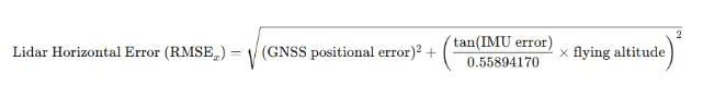
LiDAR technology has fundamentally transformed the way we collect and analyze geospatial data, becoming a key tool in a wide range of fields such as autonomous vehicles, forest resource management, urban planning, topographic surveying, and numerous other engineering applications.
To effectively harness the full potential of this technology, it is essential to clearly distinguish between LiDAR accuracy and resolution, two core factors that directly influence the quality and reliability of LiDAR data.
A common misconception is to assume that LiDAR accuracy and resolution are the same; however, in reality, they are entirely different concepts. While resolution refers to the level of detail that a LiDAR sensor can capture, accuracy indicates the degree of deviation between the measured value and the actual value. Confusing these two concepts can lead to errors in data interpretation and application.
What is LiDAR accuracy?
In LiDAR technology, accuracy refers to the degree to which the collected information reflects the actual terrain or surveyed objects. It is a key factor in evaluating data quality and is especially critical in applications that demand high reliability, such as infrastructure development, topographic mapping, and land deformation analysis.
LiDAR accuracy is typically expressed as the deviation between the measured data and ground-truth data at the same location, both in horizontal and vertical dimensions. A common method for quantifying accuracy is the Root Mean Square Error (RMSE), which provides a statistical measure of the average error across the entire dataset.
Absolute accuracy of LiDAR
Absolute accuracy refers to how precisely LiDAR data is positioned within a real-world geographic coordinate system. This is typically assessed by comparing the collected data against ground control points (GCPs) that have been measured using high-precision field surveying techniques.
- For horizontal accuracy, comparison points must be clearly defined and directly observable features on the ground, such as building corners, road markings, or survey monuments.
- For vertical accuracy, reference points are typically located in flat, unobstructed areas to minimize interpolation errors when extracting elevation values from the LiDAR point cloud.
A commonly used metric in this context is the Fundamental Vertical Accuracy (FVA), which applies to uniform surfaces such as paved roads or open bare-earth areas.
Relative accuracy of LiDAR
Relative accuracy, by contrast, refers to the internal consistency of LiDAR data, specifically, the degree of alignment among points within the point cloud without reference to external ground survey data. It reflects how well the points align spatially, without shifts or drifts between adjacent scan lines or neighboring points in 3D space.
Relative accuracy is especially important in analyses that require terrain continuity, such as slope calculations, surface aspect determination, or microtopographic index derivation.
The American Society for Photogrammetry and Remote Sensing (ASPRS) provides a standardized formula for estimating horizontal error in LiDAR data:
Where:
- Flying altitude is in meters
- GNSS (Global Navigation Satellite System) errors are radial and measured in centimeters
- IMU (Inertial Measurement Unit) errors are expressed in decimal degrees
From this equation, it is evident that when GNSS and IMU error values are held constant, lowering the flight altitude significantly reduces horizontal error. In other words, flying at a lower altitude enhances the spatial accuracy of LiDAR scan points by minimizing the effect of angular (IMU) errors on the projected laser spot position on the ground.
Additionally, this equation enables users to estimate the optimal flight altitude based on required horizontal accuracy, assuming known GNSS and IMU error values. This makes the formula a valuable tool during mission planning, particularly for applications that demand high-reliability geospatial data.
Factors influencing LiDAR accuracy
The accuracy of LiDAR data is influenced by a range of technical and environmental factors. Proper control and calibration of these factors are essential to ensure data quality and reliability.
- Sensor calibration: One of the most critical elements is the accurate calibration of the LiDAR sensor system. Improper calibration can lead to errors in distance measurements, scanning angles, and signal intensity, resulting in systemic inaccuracies or cumulative errors in the collected data. Regular calibration is necessary, especially after transportation or reinstallation of the equipment.
- Georeferencing systems (GNSS and IMU): LiDAR data only becomes meaningful when correctly referenced to a real-world coordinate system. This relies heavily on the accuracy of the Global Navigation Satellite System (GNSS/GPS) and the Inertial Measurement Unit (IMU). Even minor errors in GNSS or IMU data can cause positional shifts in the point cloud, particularly in areas where satellite signals are weak or obstructed. A tightly integrated GNSS-IMU system is crucial for ensuring precise spatial positioning of each recorded point.
- Environmental and atmospheric conditions: Environmental factors such as weather, humidity, temperature, and air quality can significantly affect LiDAR system performance. Under adverse conditions like rain, heavy fog, fine dust, or smoke, laser pulses may be scattered or absorbed, reducing return signal strength. This not only decreases point density but also affects the overall accuracy and continuity of the dataset. In addition, significant temperature fluctuations during flight can impact the performance and stability of the LiDAR equipment.
What is LiDAR resolution?
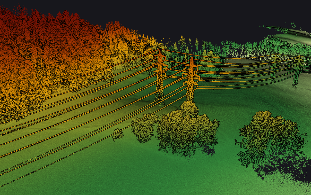
LiDAR resolution refers to the level of detail that the system can capture from terrain surfaces or scanned objects. This is typically expressed through point cloud density, the number of points collected per square meter of surface area. The higher the density, the more detailed the data, allowing for accurate representation of terrain features and surface structures.
High-resolution LiDAR is especially crucial for applications requiring micro-scale analysis or detection of fine surface features, such as vegetation boundaries, small drainage channels, obscured archaeological remains, or complex forest canopy layers. In contrast, for large-area surveys where speed is a priority and ultra-high detail is not necessary, a lower resolution may be acceptable to optimize cost and processing time.
Choosing the appropriate resolution depends on the survey objectives, local topography, and the intended application. Defining the right resolution ensures a proper balance between technical requirements, data storage demands, and analysis efficiency.
Key factors affecting LiDAR resolution
The resolution of LiDAR data is influenced by a variety of technical factors related to both sensor design and operational settings. Understanding these elements is essential for configuring a system that meets the specific requirements of each application.
- Pulse density: Pulse density refers to the number of LiDAR measurements collected per unit area, typically expressed as points per square meter (pts/m²). Higher pulse density results in more detailed datasets, which better capture surface features such as terrain variations, vegetation, or built structures. Pulse density is affected by several factors, including flight speed, pulse repetition frequency (PRF), swath width, and flight altitude.
- Sensor pulse rate and scanning pattern: The pulse repetition frequency (PRF) and scanning pattern of the LiDAR system directly impact data coverage and uniformity. Sensors with high PRF and consistent scan patterns can collect more detailed and continuous information, resulting in higher-resolution point clouds. A well-calibrated and stable scanning mechanism minimizes data gaps and prevents overlapping inconsistencies.
- Sensor design characteristics: The sensor’s technical specifications, such as laser beam divergence, footprint size, and scanning mirror mechanisms (rotating or oscillating), also play a critical role in determining resolution. Narrow beam divergence and precise scanning systems improve the ability to detect fine surface details, reduce signal blurring, and enhance the sharpness of the resulting data.
The Relationship betweenLiDAR accuracy and resolution
Accuracy and resolution are two distinct technical concepts in LiDAR systems, yet they are closely related and often influence one another during the data acquisition and processing stages. Accuracy refers to how closely the measured data reflect real-world values, while resolution indicates the level of detail that the system can capture. Although they are not interchangeable, both factors must be considered in tandem to ensure the overall quality of LiDAR outputs.
Increasing the resolution, such as by increasing point density, can improve the visibility of surface details. However, if the positioning system (GNSS/IMU) is unstable or the sensor is poorly calibrated, accuracy will suffer, and the detailed data may lose practical value. Therefore, prioritizing high resolution at the expense of accuracy can result in misleading datasets that hinder analysis and decision-making.
In practice, optimizing the balance between LiDAR accuracy and resolution is a technical trade-off. In projects that require both high spatial detail and precise positional data, such as infrastructure surveys, landslide assessments, or digital terrain modeling, both parameters must be carefully ensured. Conversely, in applications that involve large-scale or generalized observations, it may be appropriate to prioritize one over the other depending on project goals.
Thus, a clear understanding of the differences and interactions between LiDAR accuracy and resolution is essential for selecting the optimal system configuration. This ensures that the acquired data are not only accurate but also sufficiently detailed to support effective analysis and real-world applications.