Our Platforms
Explore our exceptional geospatial platform and other services, tailored to meet diverse user needs with precision and expertise.
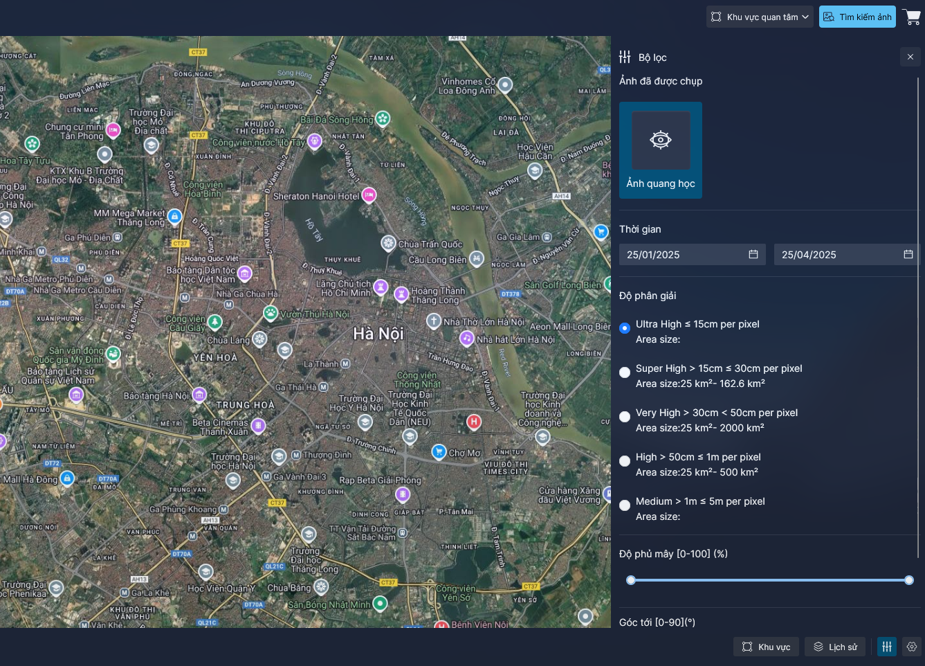
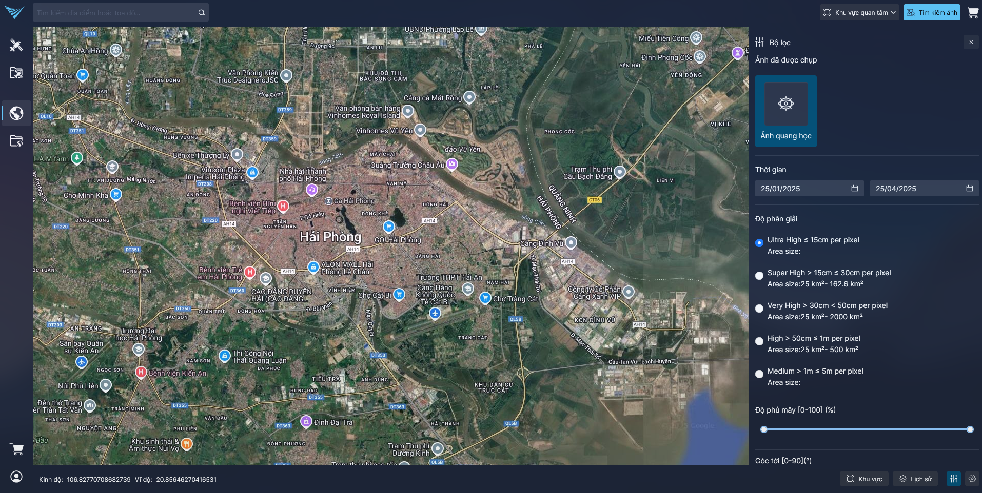
GEOHUB SMART GEOSPATIAL PLATFORM
A comprehensive solution that simplifies geospatial data access and management, offering AI-powered data analysis tools and real-time reporting to support informed decision-making.
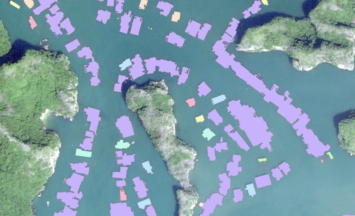
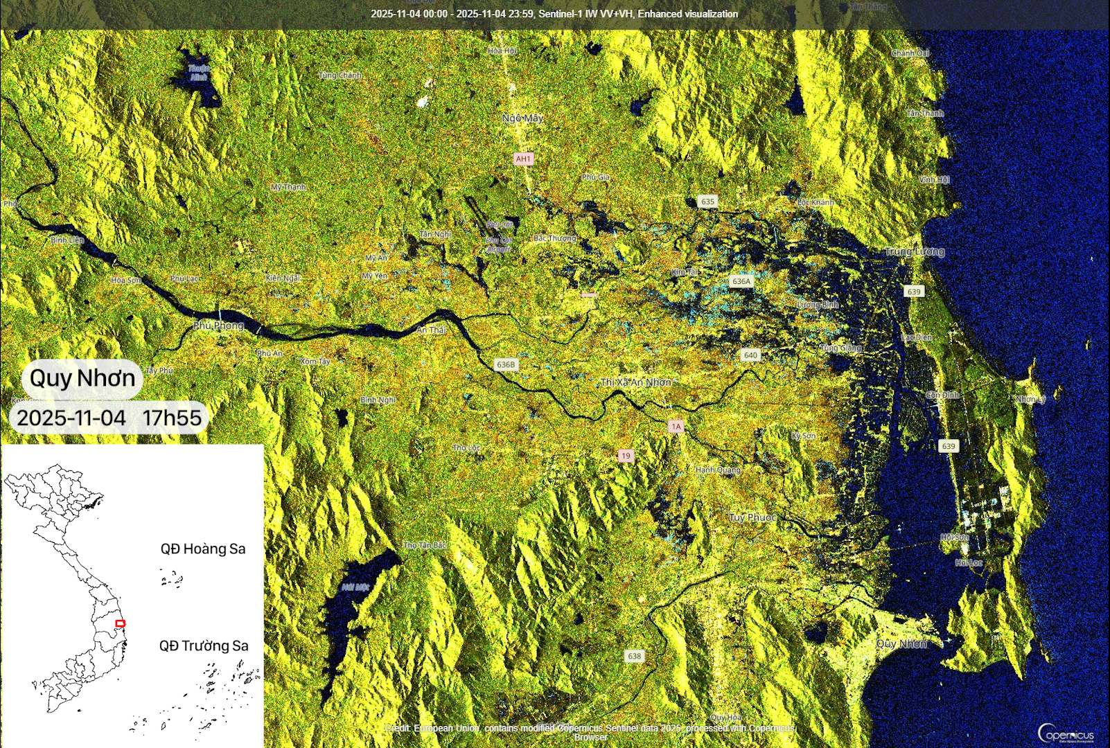
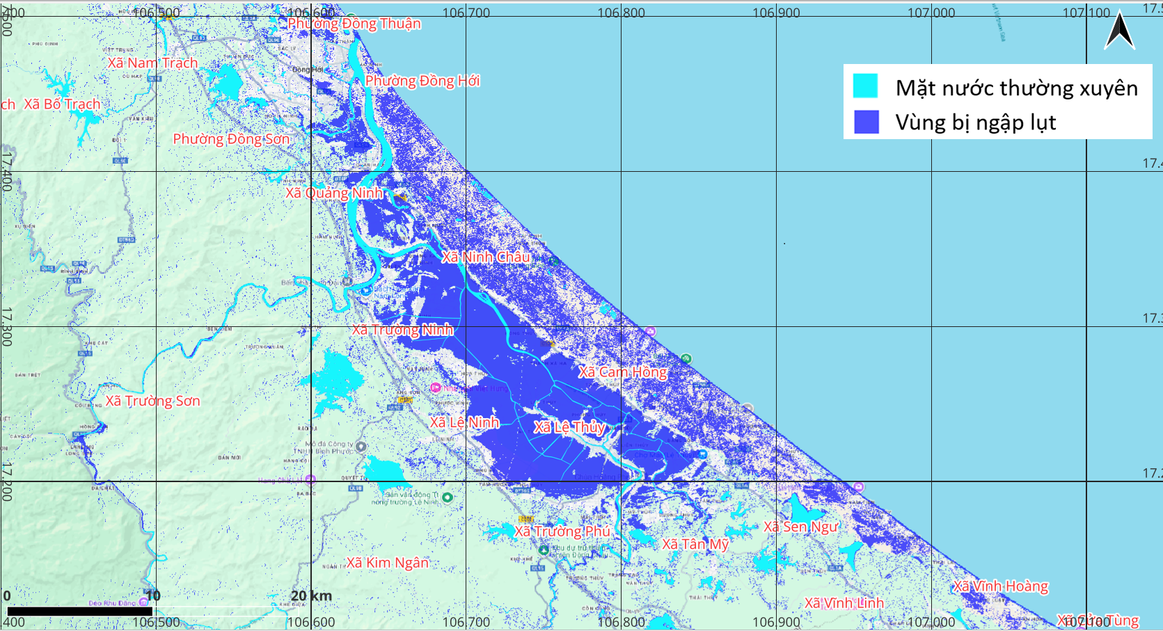
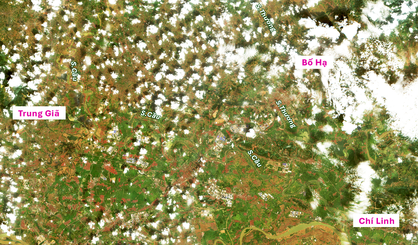
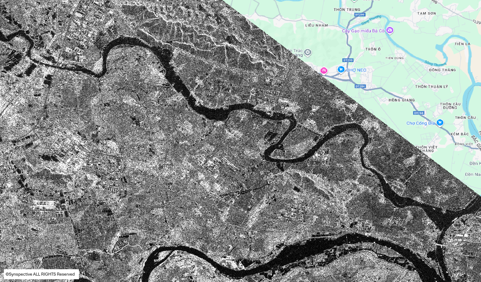
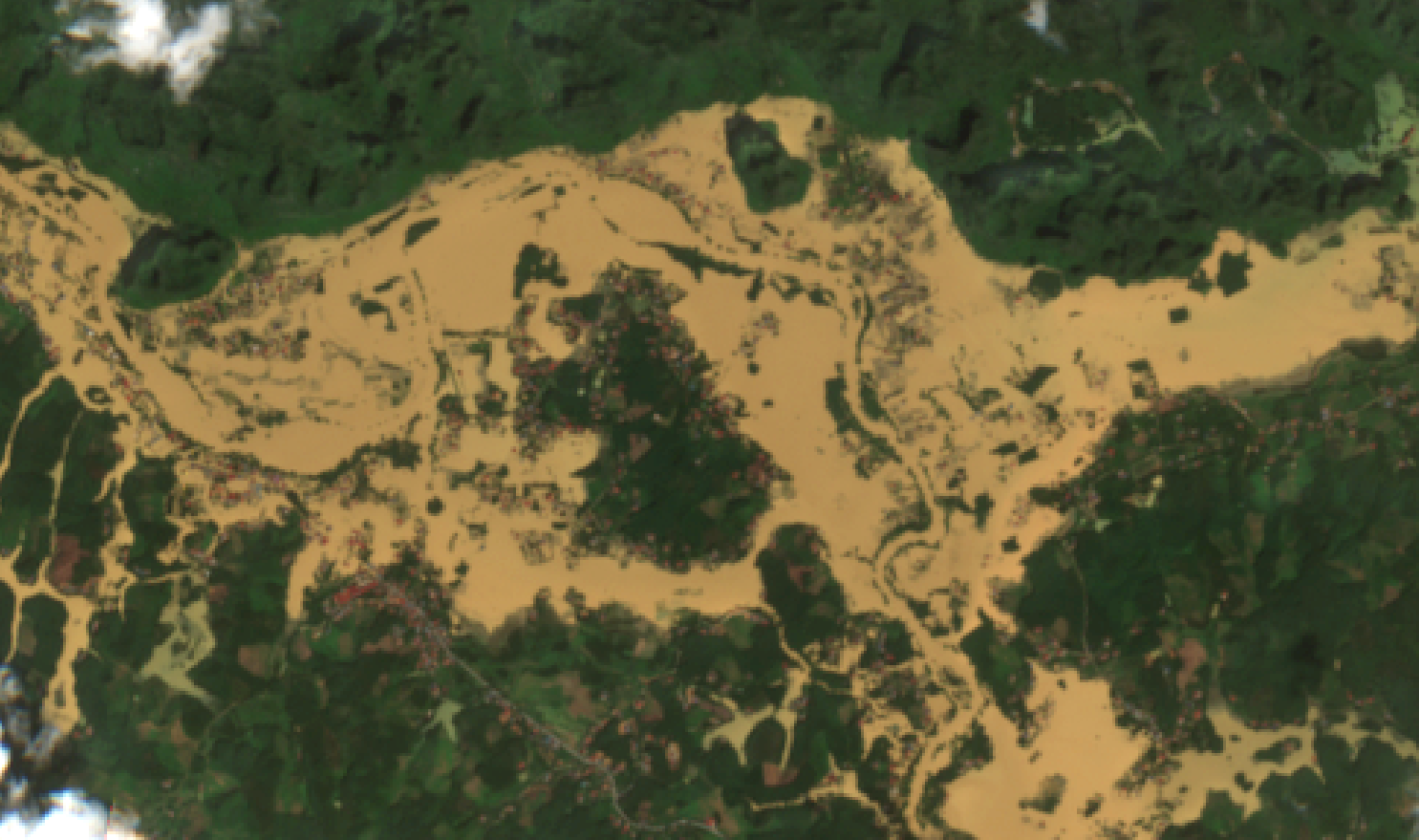
GEOSPATIAL AI
Geospatial AI integrates geospatial technology and artificial intelligence to transform spatial data into actionable insights, enabling informed decision-making across domains such as urban planning, precision agriculture, environmental monitoring, disaster response, and national security.
VSGACADEMY
Vega Space and Geospatial Academy (VSGA) is a pioneer in the field of Space and Geospatial Technology Training in Vietnam, offering specialized courses that enhance professional knowledge, develop practical skills, and prepare learners to adapt to emerging technologies.