Lưu trữ danh mục: News
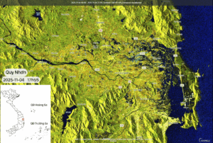
Satellite-Based Updates on Flooding in Central Vietnam, afternoon of November 04, 2025
Flooding in Central Vietnam is showing signs of receding after many days under the influence [...]
Th11
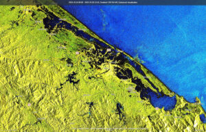
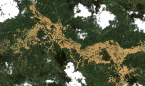
Sentinel-1–Based Flood Monitoring in Central Vietnam from late October to November 03, 2025
Flooding in Central Vietnam from mid-October to early November 2025 was complex, prolonged, and caused [...]
Th11
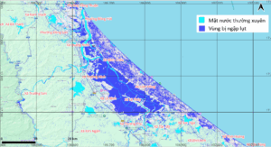
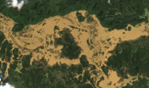
Sentinel-1–Based Flood Monitoring in Southern Hà Tĩnh and Quảng Trị, November 02, 2025
Flooding in Central Vietnam has become a primary concern as provinces from Hà Tĩnh to [...]
Th11
Thailand Space Expo 2025: VEGACOSMOS Strengthens Vietnam’s Geospatial Excellence
From October 16–18, 2025, at ICONSIAM, Bangkok, VEGACOSMOS, a member of VEGASTAR Technology Group, officially [...]
Th10
Final Update: Flood Evolution in the Cầu and Thương River Basins after Tropical Storm No.11 (Matmo)
After being affected by Tropical Storm No. 11 – Matmo, many areas along the Cầu [...]
Th10
Updated Flood Monitoring at Cầu and Thương River Basins on October 14, 2025
After Tropical Storm No. 11 – Matmo weakened and moved inland, its residual circulation continued [...]
Th10
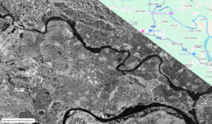
Satellite-Based Assessment of Flood Conditions Along Thương River After Typhoon Matmo
Typhoon No. 11 (Matmo) and the subsequent heavy rainfall triggered severe flooding beginning on October [...]
Th10
Satellite-Based Assessment of Flood Evolution along Cầu River through Bắc Ninh Province during Typhoon Matmo
Typhoon No. 11 (Matmo) and the post-typhoon rainfall and flooding caused severe inundation across multiple [...]
Th10
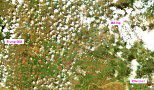
Ứng dụng công nghệ viễn thám quang học giám sát ngập lụt do hoàn lưu bão Matmo (phần 1)
Bão số 11 (bão Matmo) đổ bộ tỉnh Quảng Tây (Trung Quốc), giáp khu vực [...]
Th10
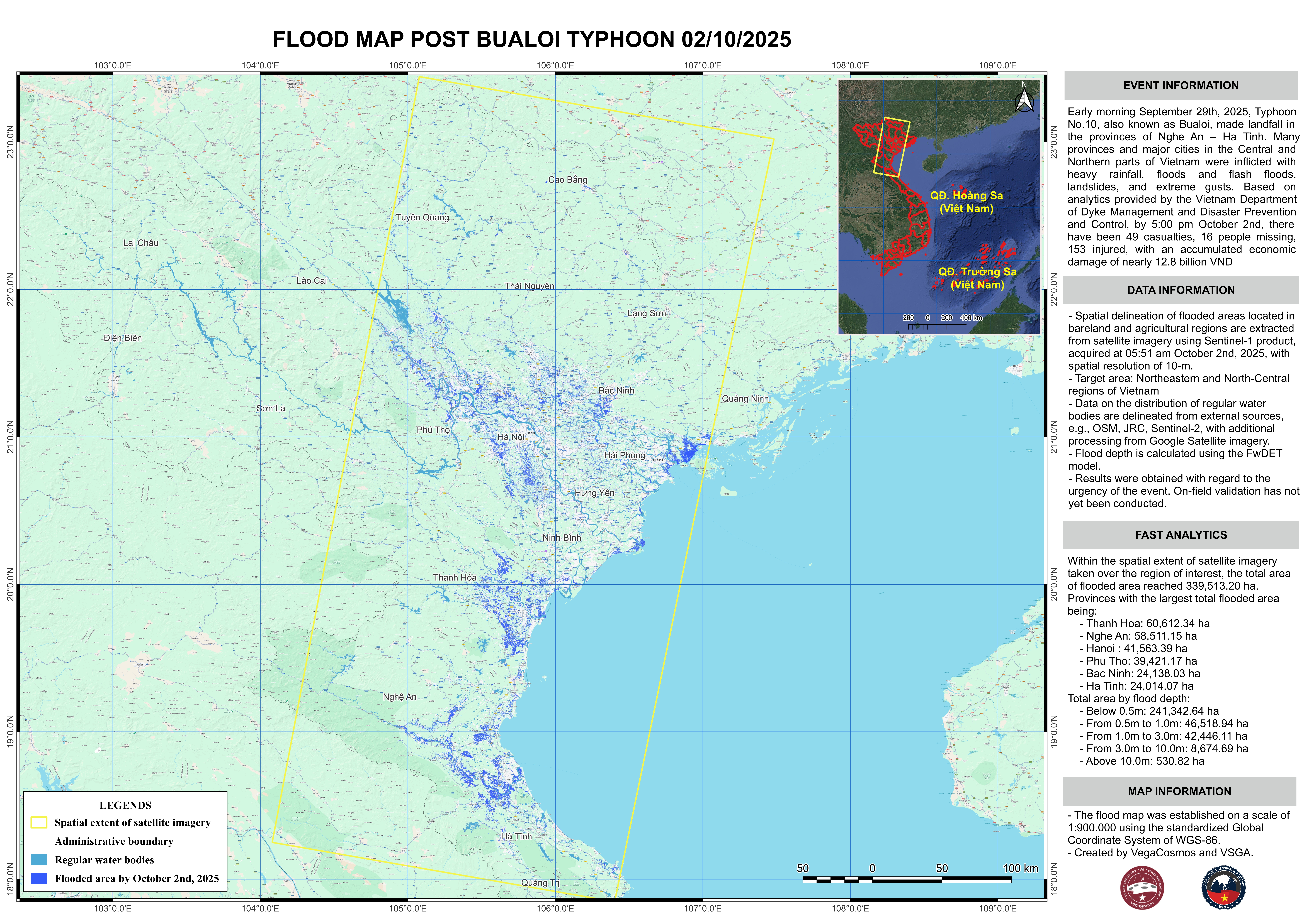
Flood monitoring using SAR technology – Aftermath of Typhoon Bualoi, 2025
Typhoon Bualoi made landfall in Nghe An and Ha Tinh in the early morning of [...]
Th10

